26-03-2026
Exploring the UK
This half term, Year 2 have been diving into an exciting Geography topic: learning all about the United Kingdom. The children have shown great enthusiasm as they explored the countries, capital cities and key features that make up the UK.
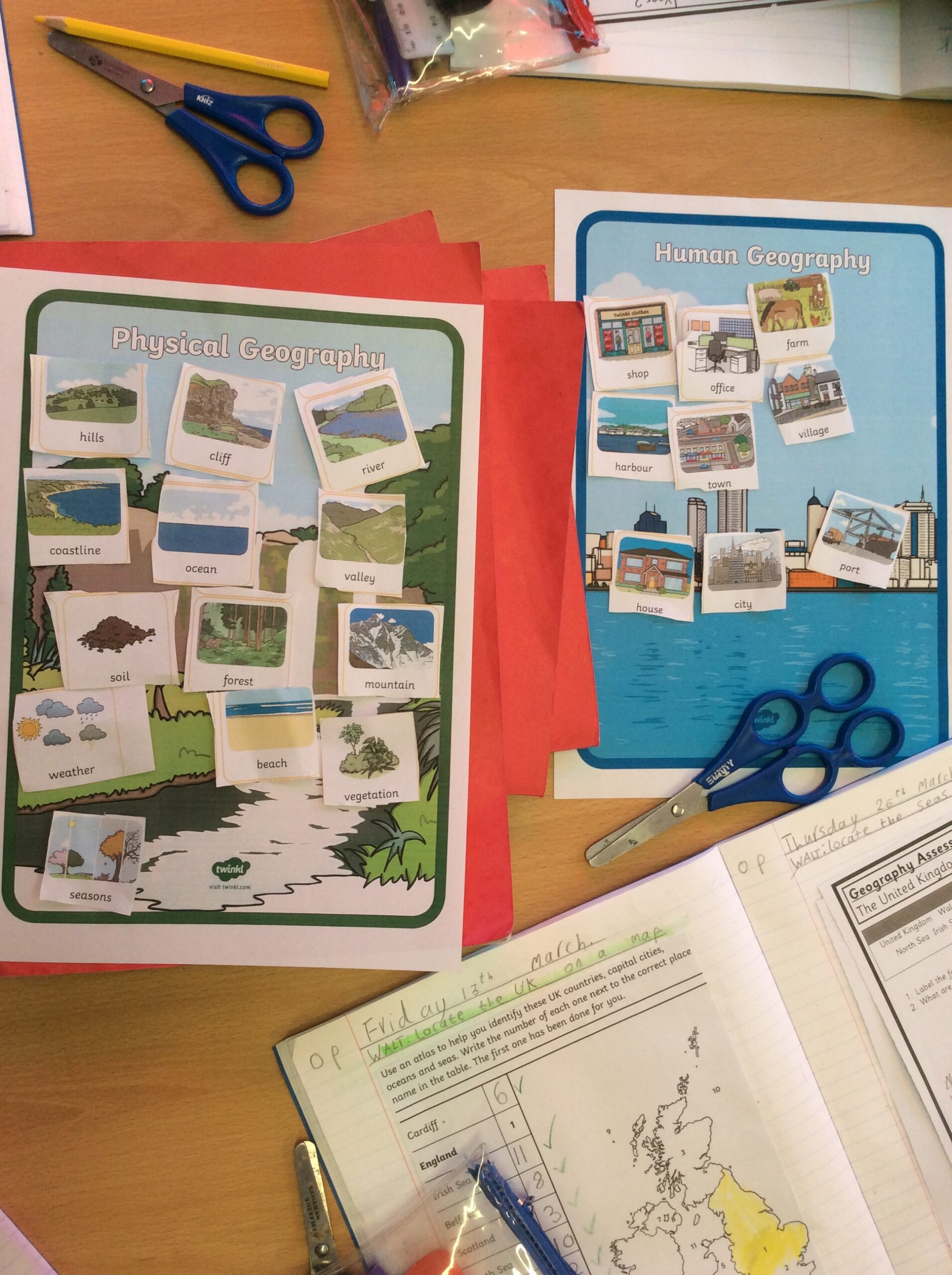
One of our first tasks was to label maps. Pupils enjoyed identifying the four countries of the UK and marking the surrounding seas. This helped everyone develop a clearer sense of where each place is located and how the UK fits together.
We then moved on to using atlases. Working with these real geographical tools gave the children a chance to investigate maps more independently. They practised finding locations using the index and explored how different types of maps can give us different kinds of information.
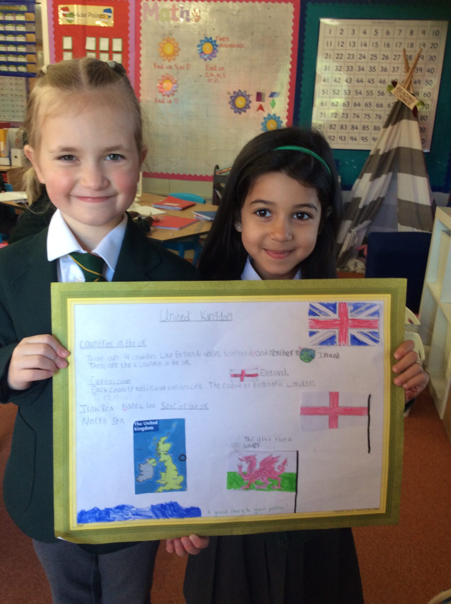
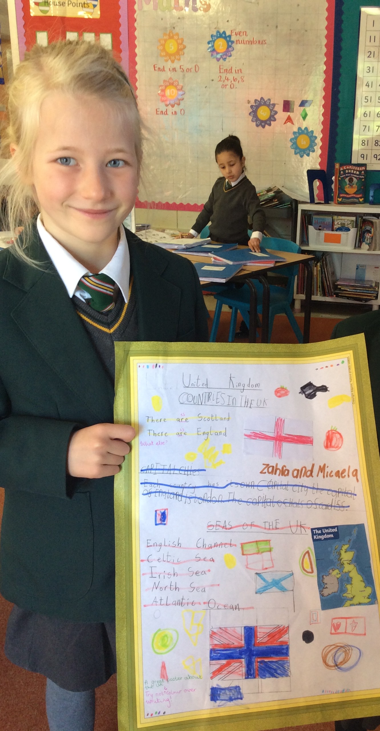
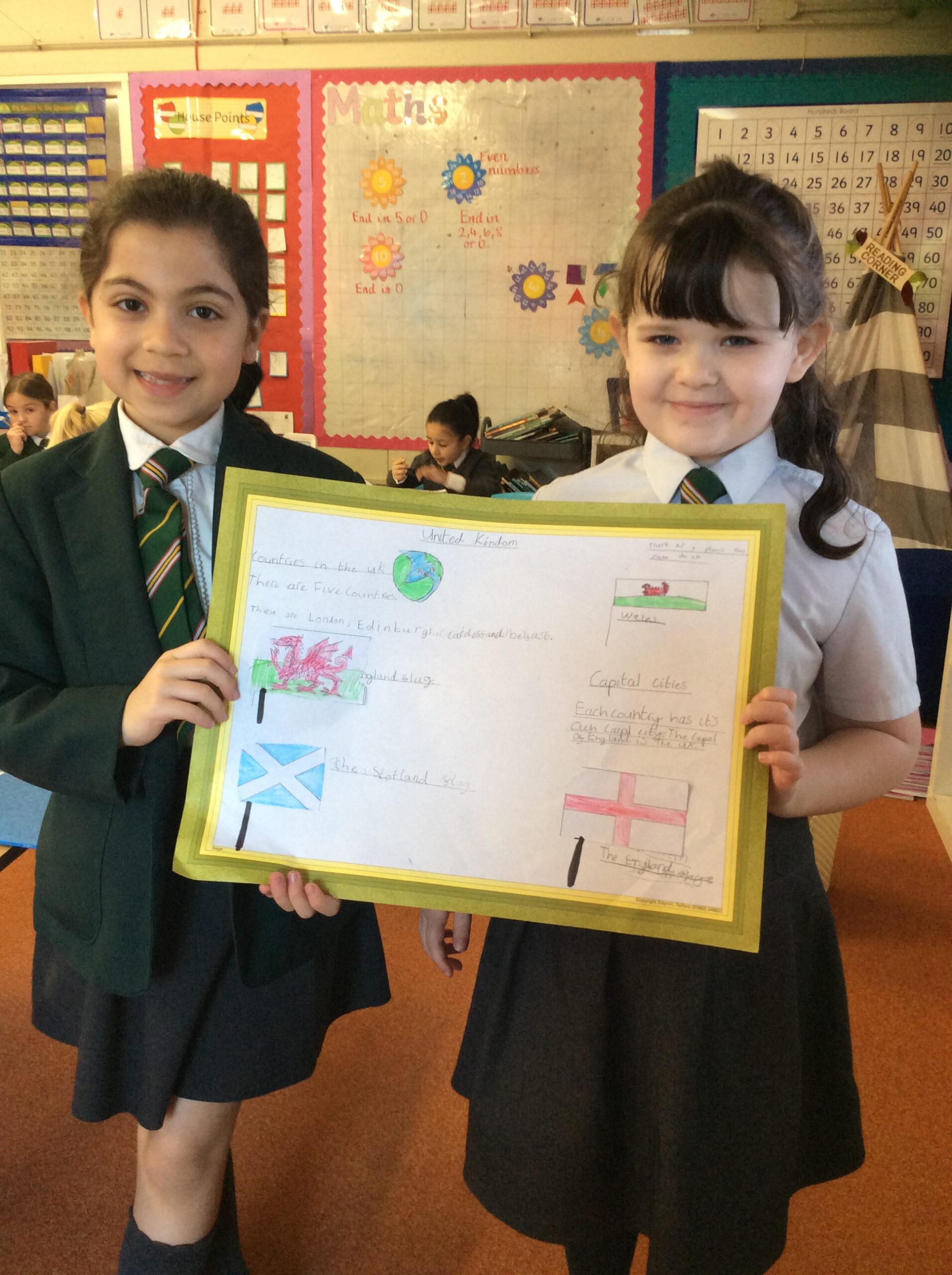
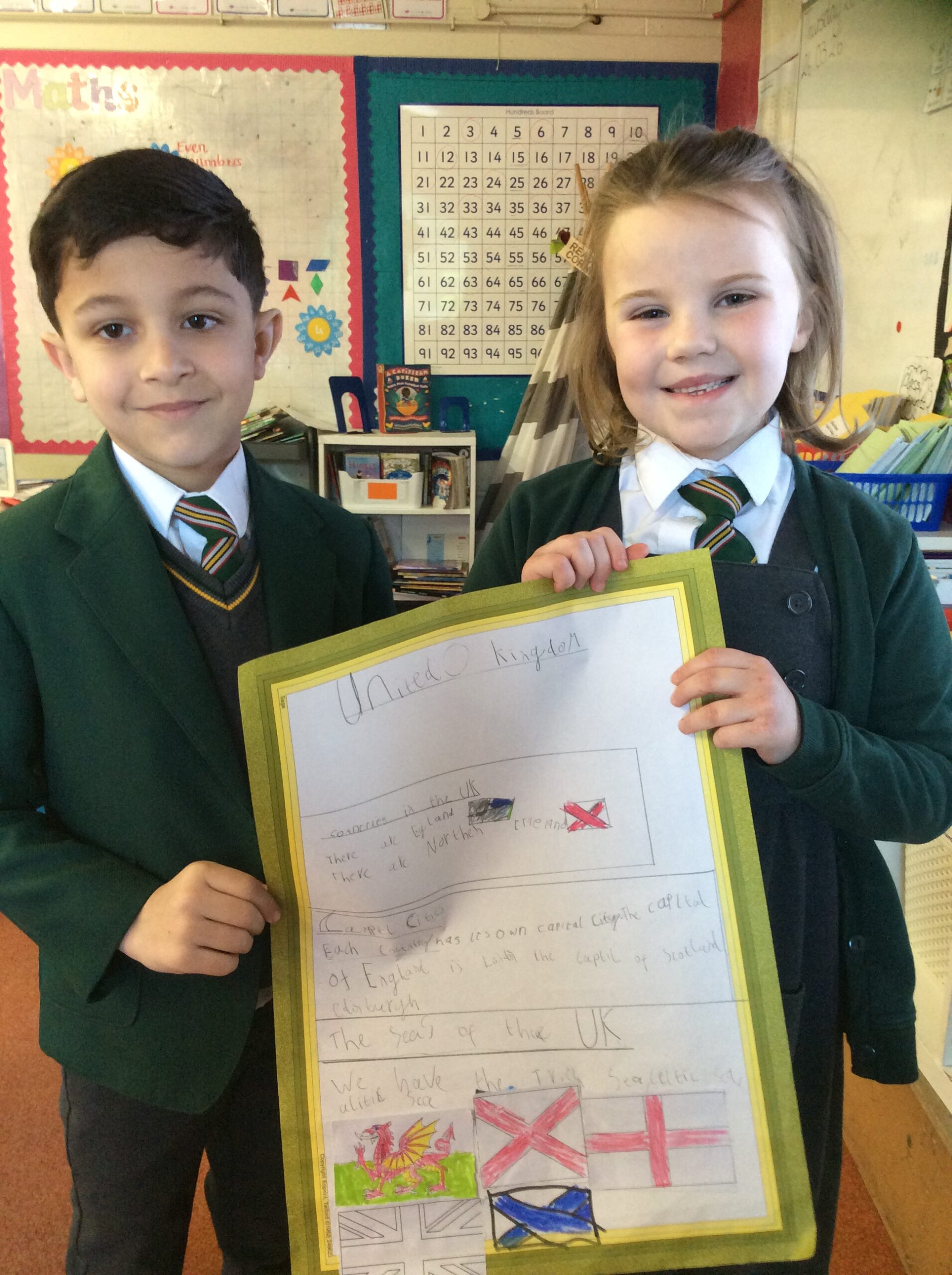
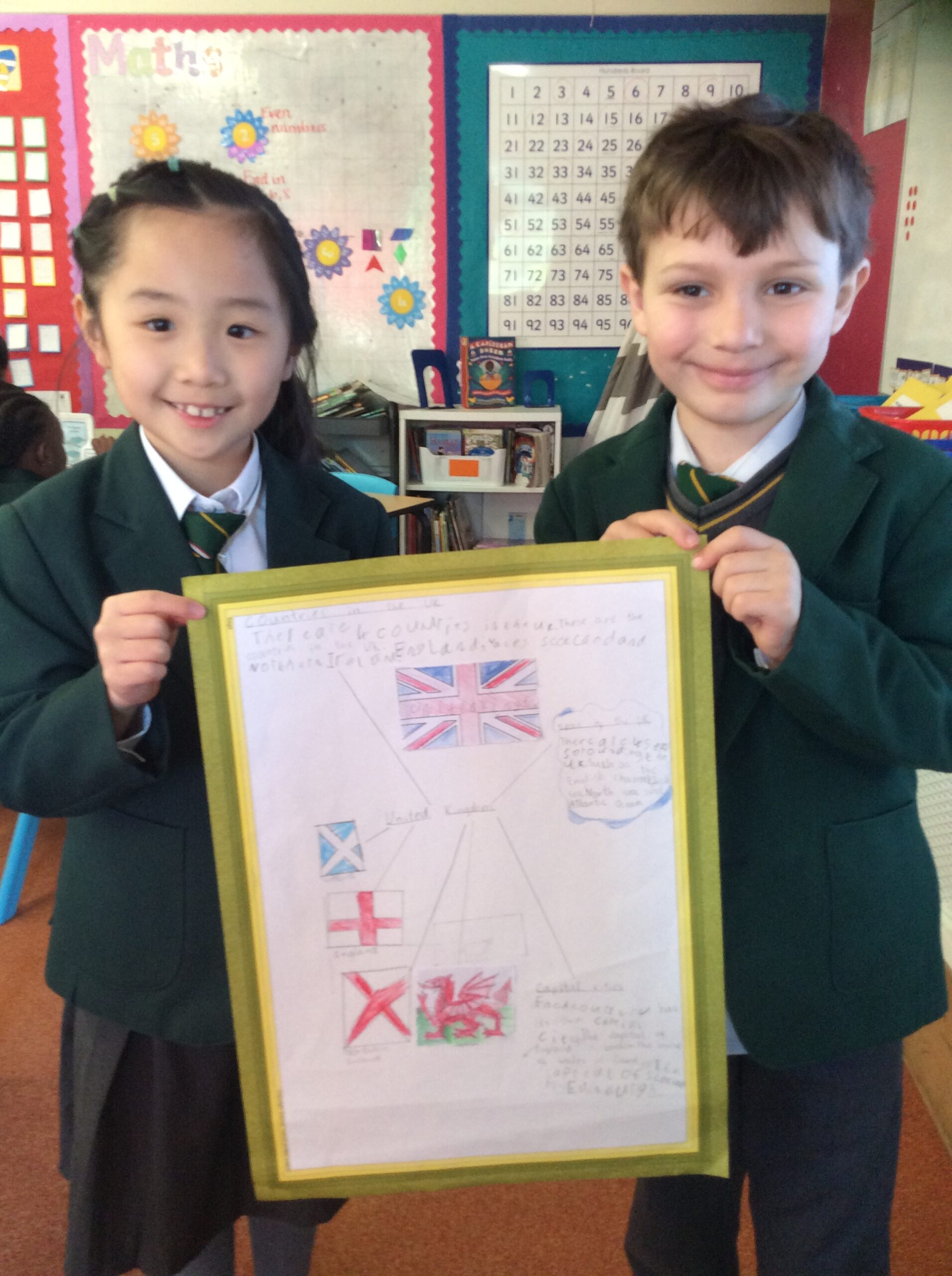
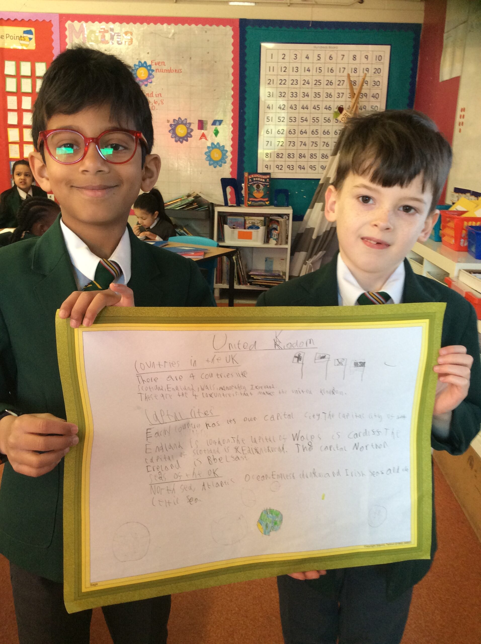
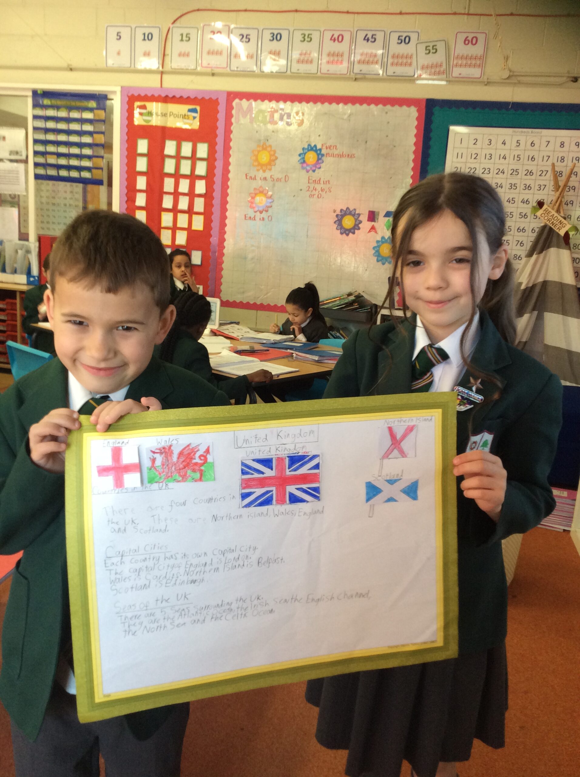
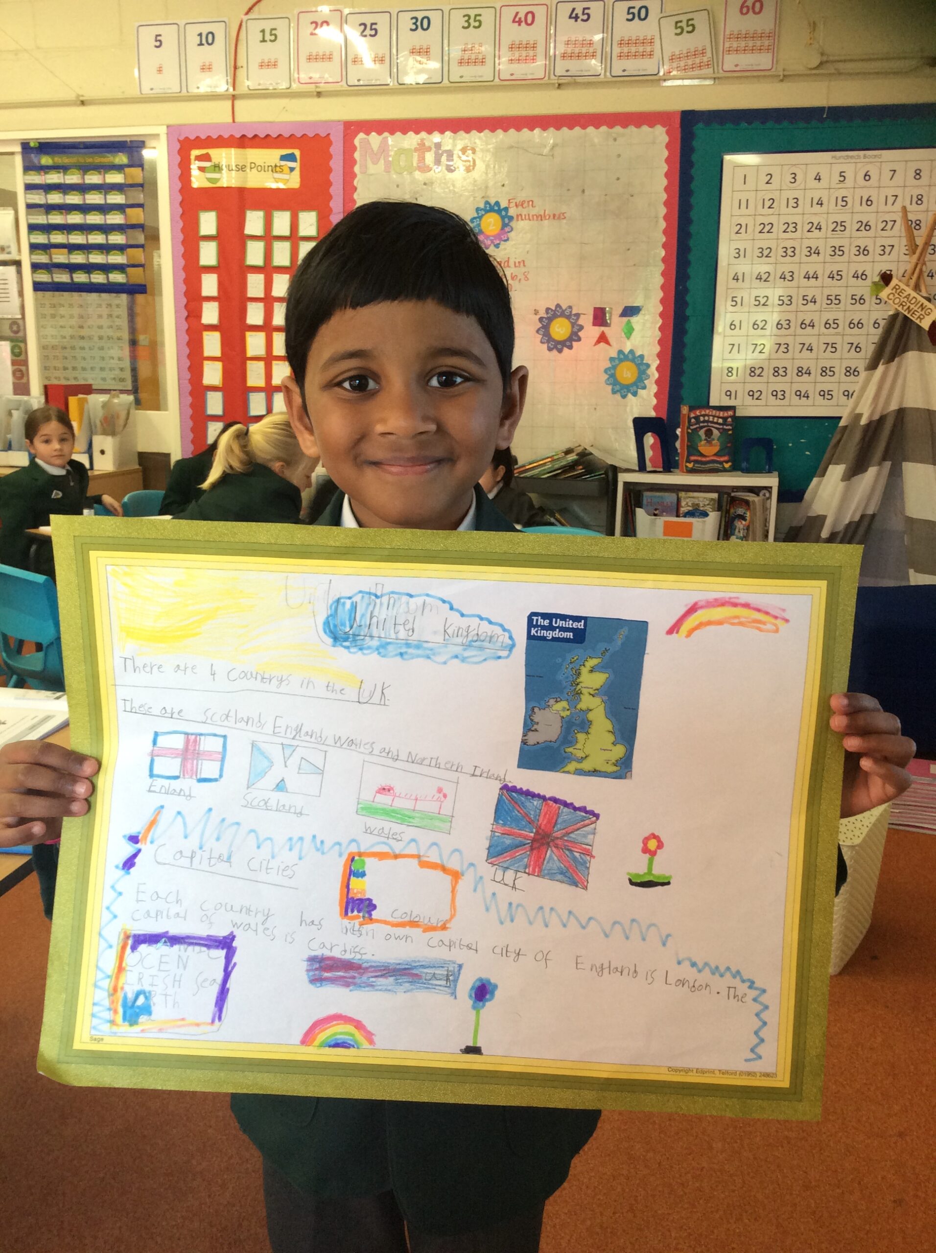
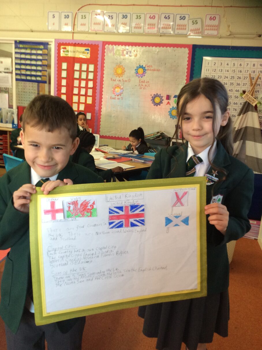
To bring all of this learning together, the children worked with a partner to create their own information posters. Each pair chose facts that they felt were important and used drawings, labels and key vocabulary to show what they had learned. The posters were creative, colourful and demonstrated a strong understanding of the UK.
Year 2 should feel incredibly proud of their hard work. Their curiosity and teamwork have helped them become confident young geographers who can use maps, atlases and research skills to find out more about the world around them.
As a follow‑up at home, we encourage parents and carers to ask their children which UK landmarks they would most like to visit and why. This is a lovely way to continue their learning and spark further curiosity about the places we have been studying.